

This post summarises a research dissertation on the same topic.
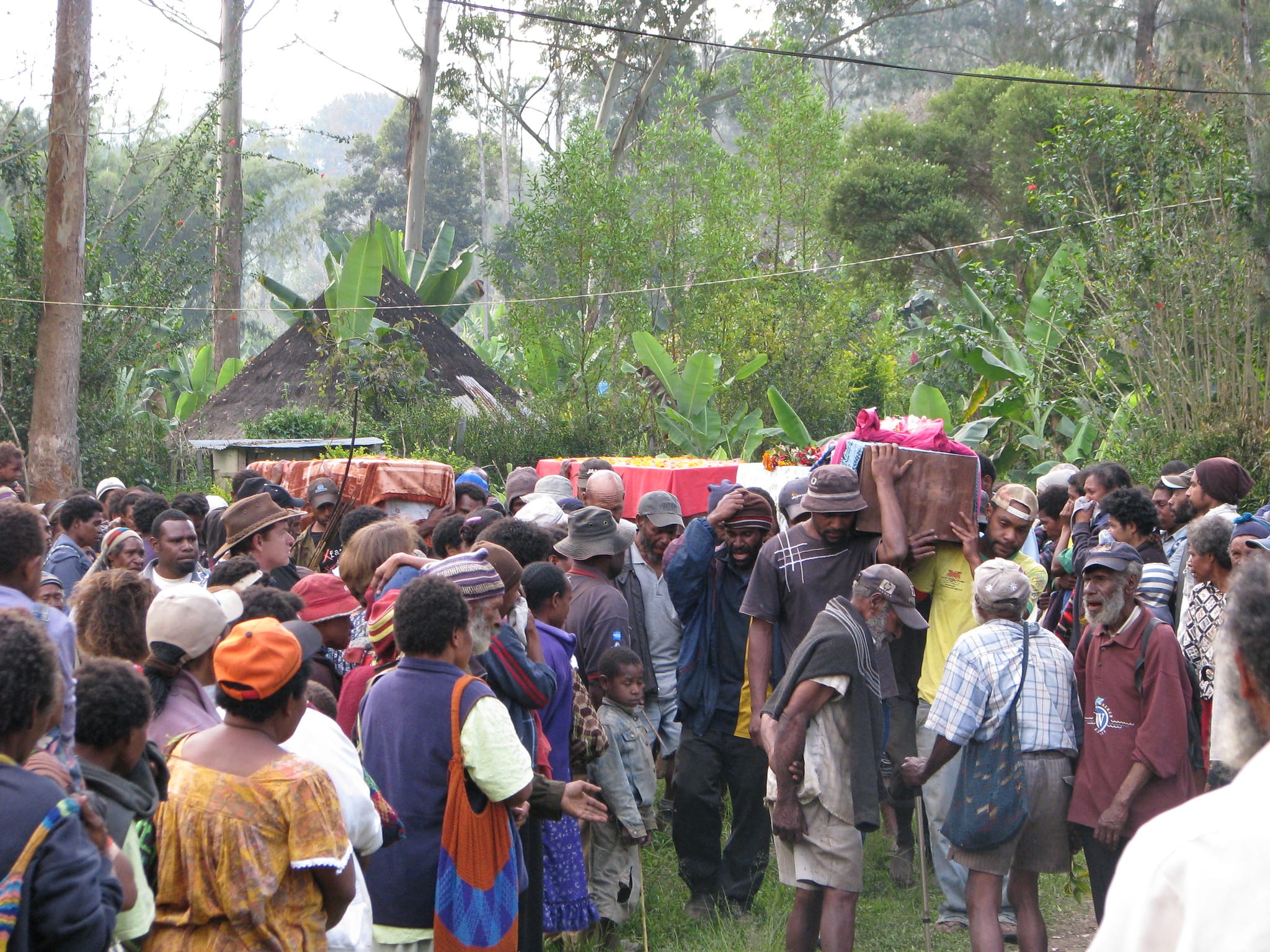
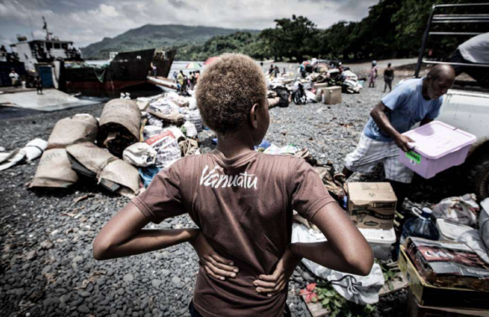
In May 2024, a landslide in Enga Province buried more than 2,000 people and displaced an estimated 1,680 others. Both Prime Minister James Marape and the Red Cross later attributed the collapse to weeks of intense rainfall that had saturated the slope. The survivors were forced to move into surrounding areas, and the tribal violence that followed was severe enough to restrict humanitarian access, deepening mistrust between local authorities and outside agencies.
That sequence, heavy rainfall, displacement, conflict over land, sits at the heart of my research. Extreme rainfall is usually discussed as a climate problem, but in Papua New Guinea it may also help trigger tribal violence by pushing people into disputed areas. My dissertation asks whether rainfall acts as an environmental stressor on tribal violence, and whether the relationship is visible in spatial and temporal data from across the country.
PNG, and particularly its highland provinces, is highly exposed to both climate shocks and conflict, but the link between the two is not straightforward. Much of the global literature on climate and violence focuses on broad cross-country patterns and tends to miss the specific social and political context of Pacific states. Tribal violence in PNG arises from land disputes, sorcery-accusation related violence (SARV, where natural disasters are blamed on alleged sorcerers and trigger attacks, most often against women) and electoral violence, and it has been made more lethal by the spread of high-powered firearms. The question is whether extreme rainfall sharpens those existing tensions by forcing migration into contested areas, rather than causing violence on its own.
The climate side of the story is becoming harder to ignore. El Niño Southern Oscillation (ENSO) events, the main driver of extreme rainfall and drought in PNG, are becoming less predictable, and high-emission scenarios project both more frequent and more intense rainfall in the region. Layered on top is a sociopolitical setting with more than 250 tribes and over 800 languages, customary land tenure covering most of the country, and limited state reach into remote highland districts. In that environment, even small disputes can escalate quickly.
To explore the link, I used province-level rainfall data from the Pacific Data Hub and violence data from Armed Conflict Location and Event Data (ACLED) and the Australian National University to examine trends across PNG from 1980 to 2024. A bivariate overlay and a province-level scatter plot showed Enga as the main outlier, with a weak but statistically significant relationship between rainfall and violence. Most other provinces showed no clear association. I then looked more closely at Enga at district level. There was no obvious clustering of incidents around the 2024 landslide site itself, but there was a concentration of violence near the Porgera gold mine, where land and royalty disputes are long-running. This multi-scale spatiotemporal analysis, combining national patterns with a district-level case study, has not previously been undertaken for PNG.
The findings suggest that extreme rainfall does not directly cause tribal violence, but works through specific local mechanisms, mainly displacement. When heavy rainfall produces landslides or prolonged flooding, families are forced to relocate, often into areas already contested by competing tribes. That movement injects additional pressure into environments already destabilised by land disputes, weak state presence and access to firearms. Violence in Enga was not a random response to rainfall; it clustered around existing flashpoints such as Porgera. Rainfall does not create conflict in PNG. It acts as an amplifier, pushing communities already under strain into open violence by turning a natural disaster into a dispute over land and resources.
That has implications for policy. PNG’s Sustainable Development Roadmap and most NGO programs treat climate adaptation and conflict prevention as separate tracks, and lean heavily on infrastructure upgrades, formal land registration and centralised early-warning systems. In a country where customary tenure dominates, state capacity is thin in the highlands and many communities are days from the nearest road, those approaches are economically and logistically unrealistic. They also tend to bypass the village-level institutions that actually mediate disputes in PNG.
A more workable response would build on what already exists. Churches reach almost every community in PNG and are widely trusted, often more than the state. A church-led community education program, focused on young men, on the link between climate shocks, displacement and violence, and on non-violent dispute resolution, is more likely to shift behaviour than a top-down policy framework. Pairing that with locally-led disaster preparedness, so that displacement is managed before it becomes a trigger, would address the mechanism the data points to rather than the symptoms.
The wider lesson is that climate and violence in PNG should not be treated as separate policy problems. They overlap. Extreme rainfall may not be the root cause of tribal violence, but it helps create the conditions in which violence becomes more likely. That is why the relationship deserves more attention from researchers and policymakers, and why responses need to start from the community level rather than the capital.


Interesting read.
Thanks Cian, for the violence pre-ACLED, is this publicly available?
Hi Maho, sorry but the only way of getting violence data pre-2020 is by individually collecting it from newspapers.